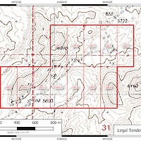
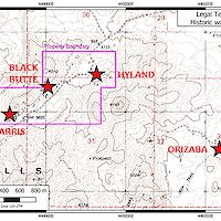
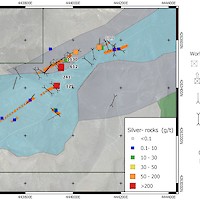
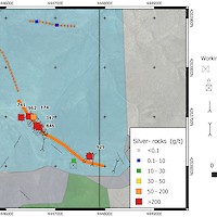
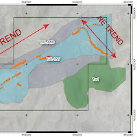
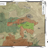
The Legal Tender Property is located in the Royston Hills in Nye County, approximately 62 km NW of Tonopah. The property covers Triassic carbonates and greenstones overlain by Tertiary volcanic rocks. Low to intermediate sulphidation mineralization occurs in veins exposed along a strike length of 1,600 metres in two trends (Main & NE Trends) . There are numerous prospect pits and shafts in these veins and notable past production from the Farris, Hyland and Black Butte mine sites.
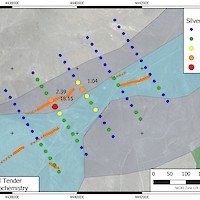
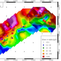
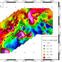
The Main Trend contains veins spanning a strike length of more than 1200 metres. At the southwestern end, high grade silver mineralization occurs in the Farris Mine, high-graded during the peak of activity in the area in the period 1913-1920. Best assays from this zone returned grab samples up to 1,875 g/t Ag. Further along strike, the Black Butte Mine produced between 1962 and 1968; grab dump samples from this location returned up to 1,130 g/t Ag. The Main Trend follows a pronounced apparent resistivity break along its length. Test soil surveys over this trend in 2020 indicated that grid soil sampling would be an effective means of locating veins under cover by means of their silver-in-soil response.
The NE Trend spans a strike length of 400 m and contains the Hyland Mine which produced between 1913-1920. Dump grab samples along this trend returned up to 962 g/t Ag and associated gold up to 4.94 g/t Au. The vein system was exploited heavily in the area of the Hyland Mine through a series of adjacent inclined shafts.
Silver Range has conducted geological mapping and prospecting; ground total magnetic field and horizontal loop electromagnetic field; and soil geochemical surveys on the property since acquiring the property in 2016.

