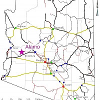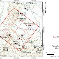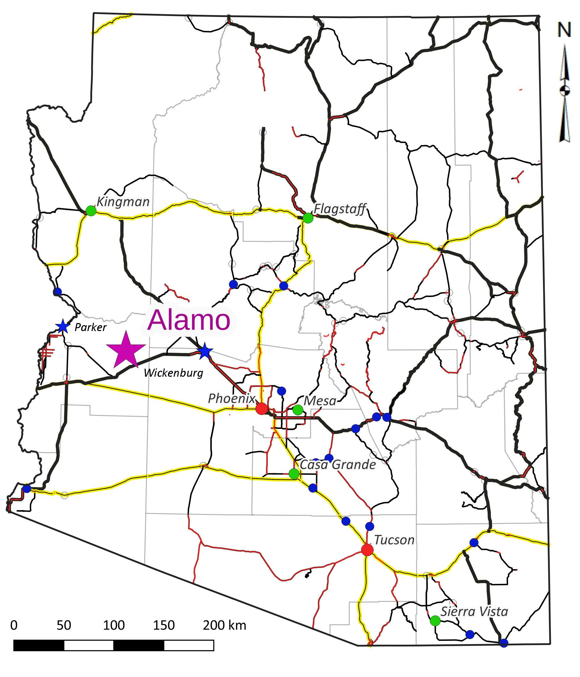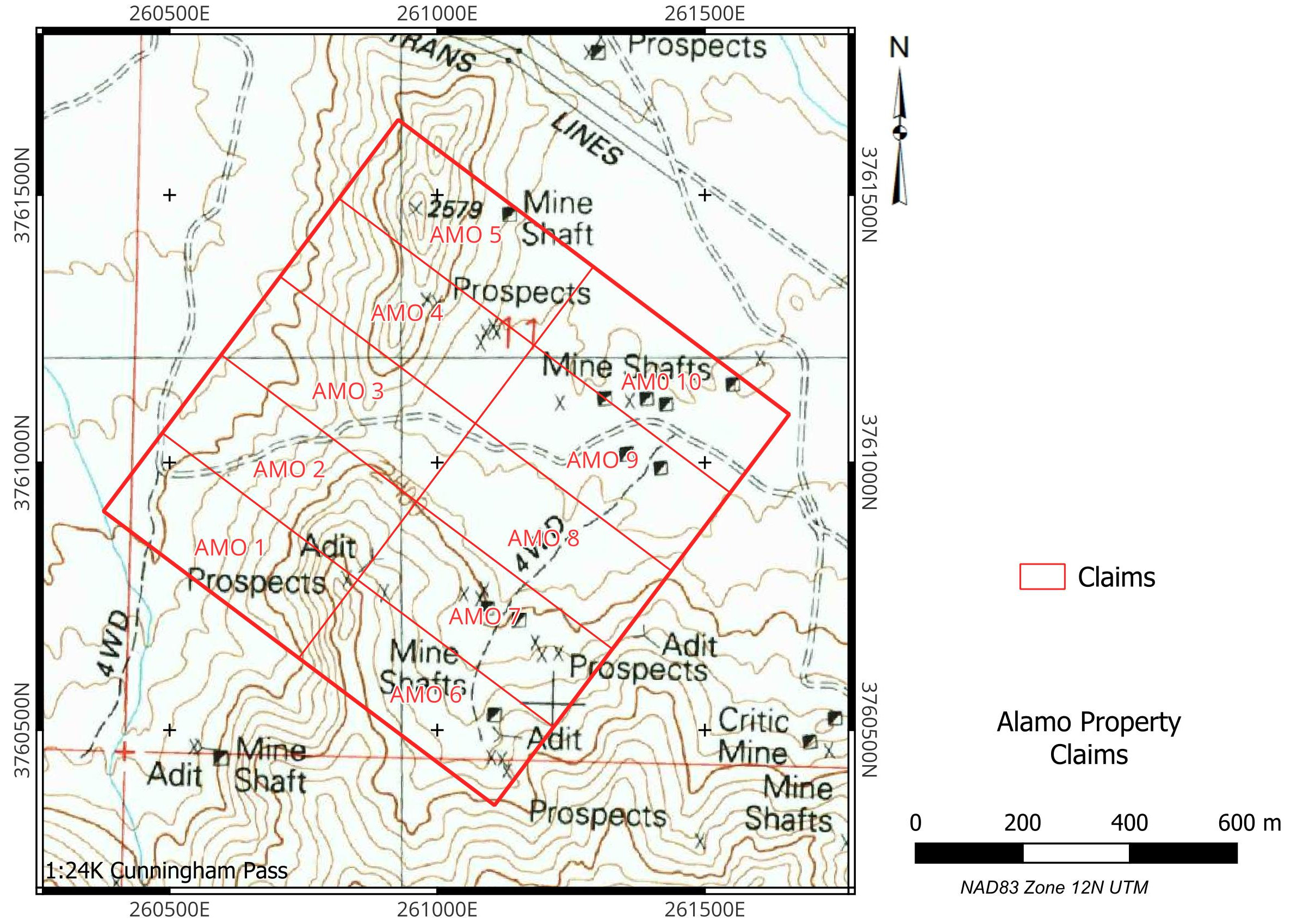
The Alamo Property consists of 20 Federal Lode claims centred at 33o58’ 45” N 113o 35’ 11” W in Sections 3, 10, 11 and 14, Township 7N Range 13W, La Paz County, Arizona. The claims are staked on BLM Land with no surface impairments. The Alamo Property is 68 km east of Parker, AZ and accessible by 4WD roads from Wenden, 16 km south of the property.
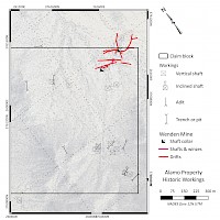
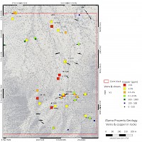
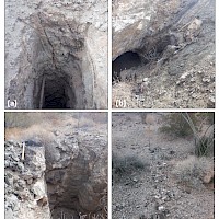
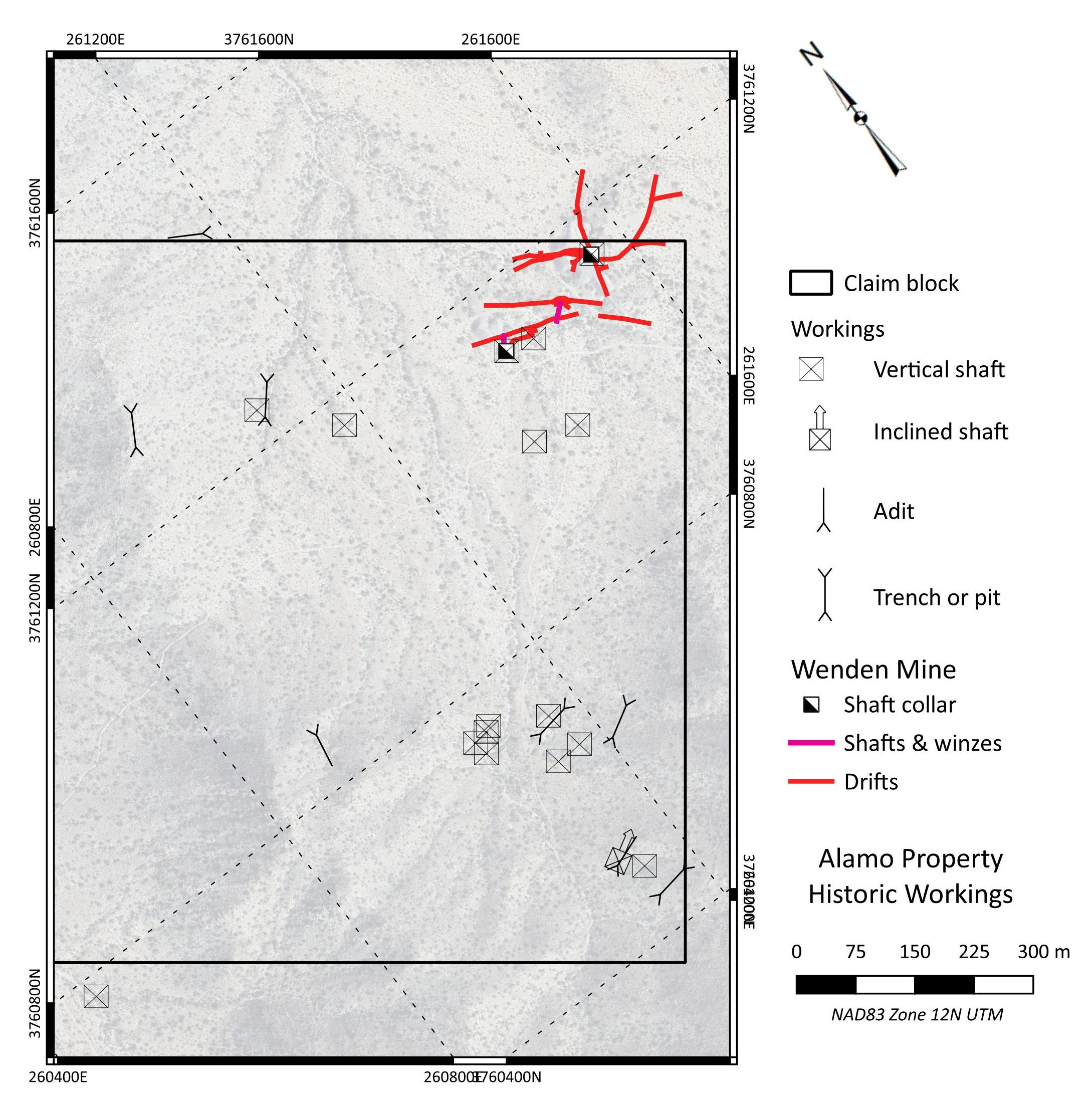
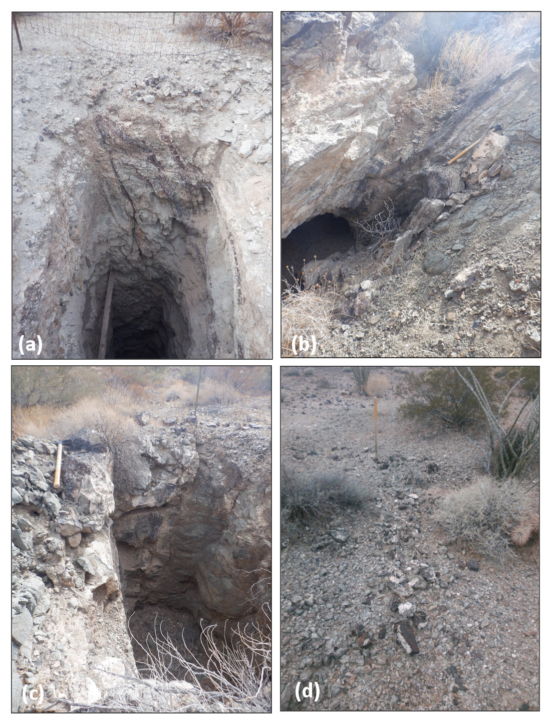
The property covers the former Wenden Mine. A July 1918 report in the Scientific & Mining Press on the Cunningham Pass district notes that ore was shipped from the district grading “18-20% copper and $10 gold per ton” (~0.5 OPT Au). The Barkdoll and No. 1 Shafts in the northern portion of the property have large accessory dumps. Development at the Barkdoll Shaft includes drifts down to the 1000-foot level and drifts at the Copper Chief / Old No. 1 Shaft about 200 m to the southeast are mapped down to the 400-foot level. An October 1929 Smelter Settlement Sheet for the Wenden Mine shows a gross weight of 50 tons grading 0.5 OPT Au and 9.65% Cu.
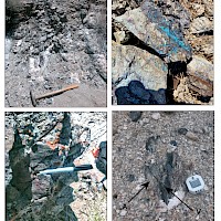
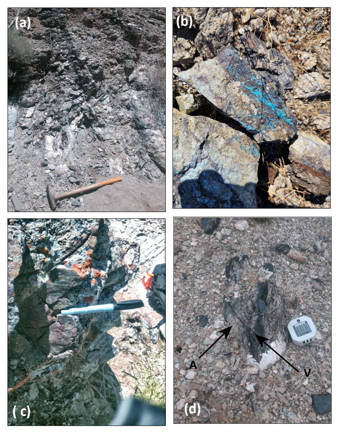
Mineralization in the district consists of specular and earthy hematite with limonite in brittle structures cutting Proterozoic gneiss. Gold reports with chalcopyrite and pyrite, largely oxidized to malachite, azurite, chalcocite and limonite. The mineralization occurs as vein-fill in northwest-striking, northeast-dipping anastomosing faults with dips varying from 300 to 900. Individual vein-filled faults at larger mines in the area are from 50 to 150 m in length and occur in networks. Mineralization in the district is iron-oxide copper-gold (IOCG) in style, hosted in a detachment-fault related extensional normal faults along a mean trend of approximately 3300. A bulk tonnage copper-gold target might be present where converging and intersecting structures have created large damage zones.
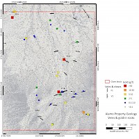
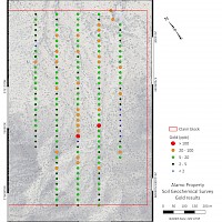
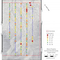
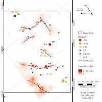
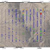
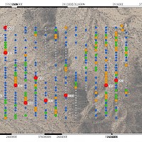
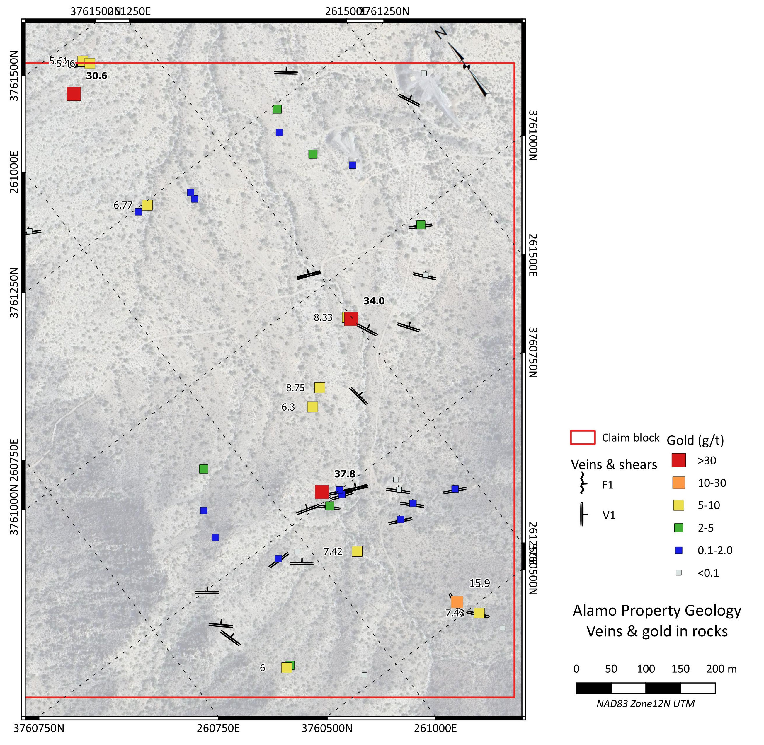
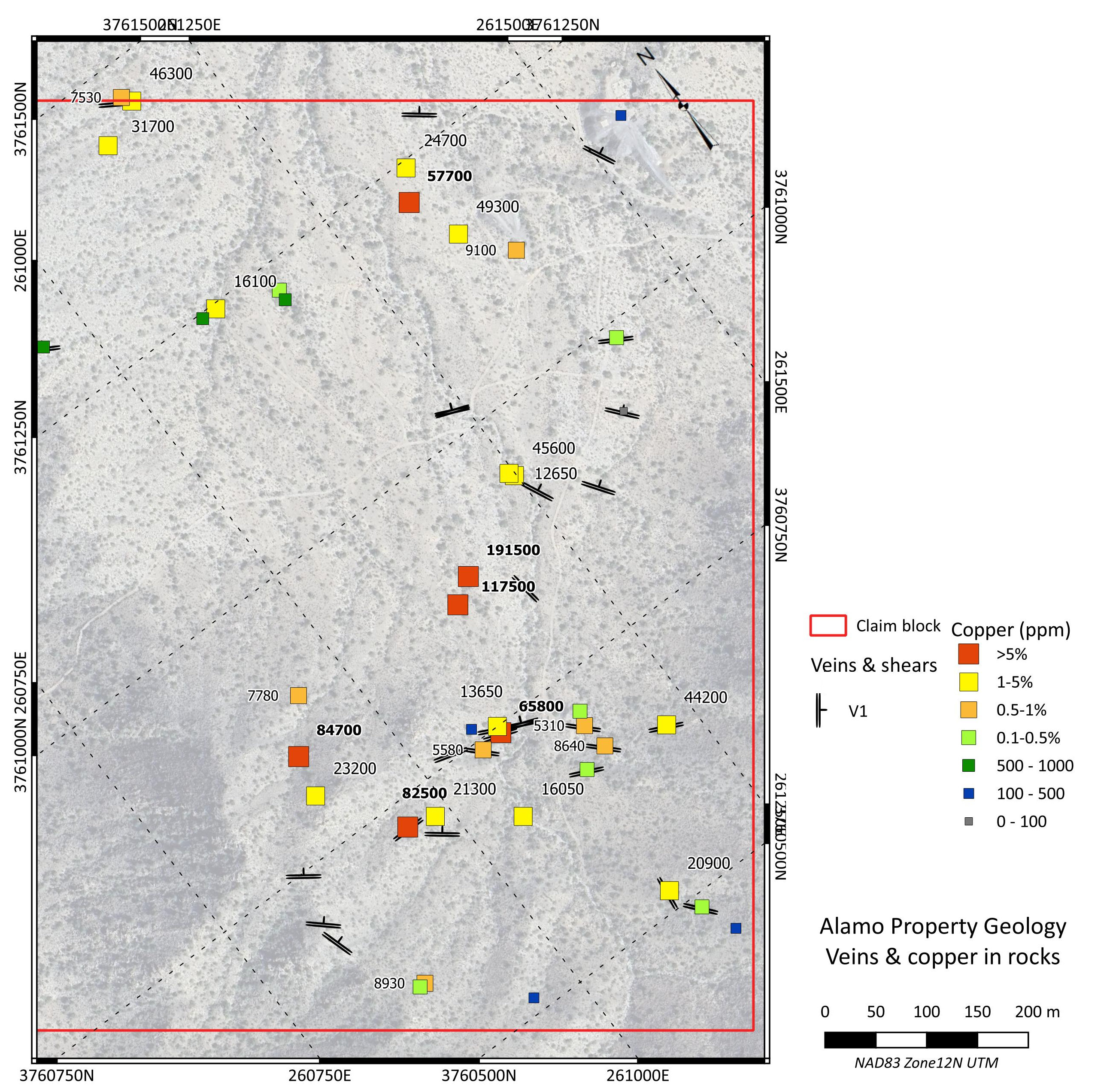
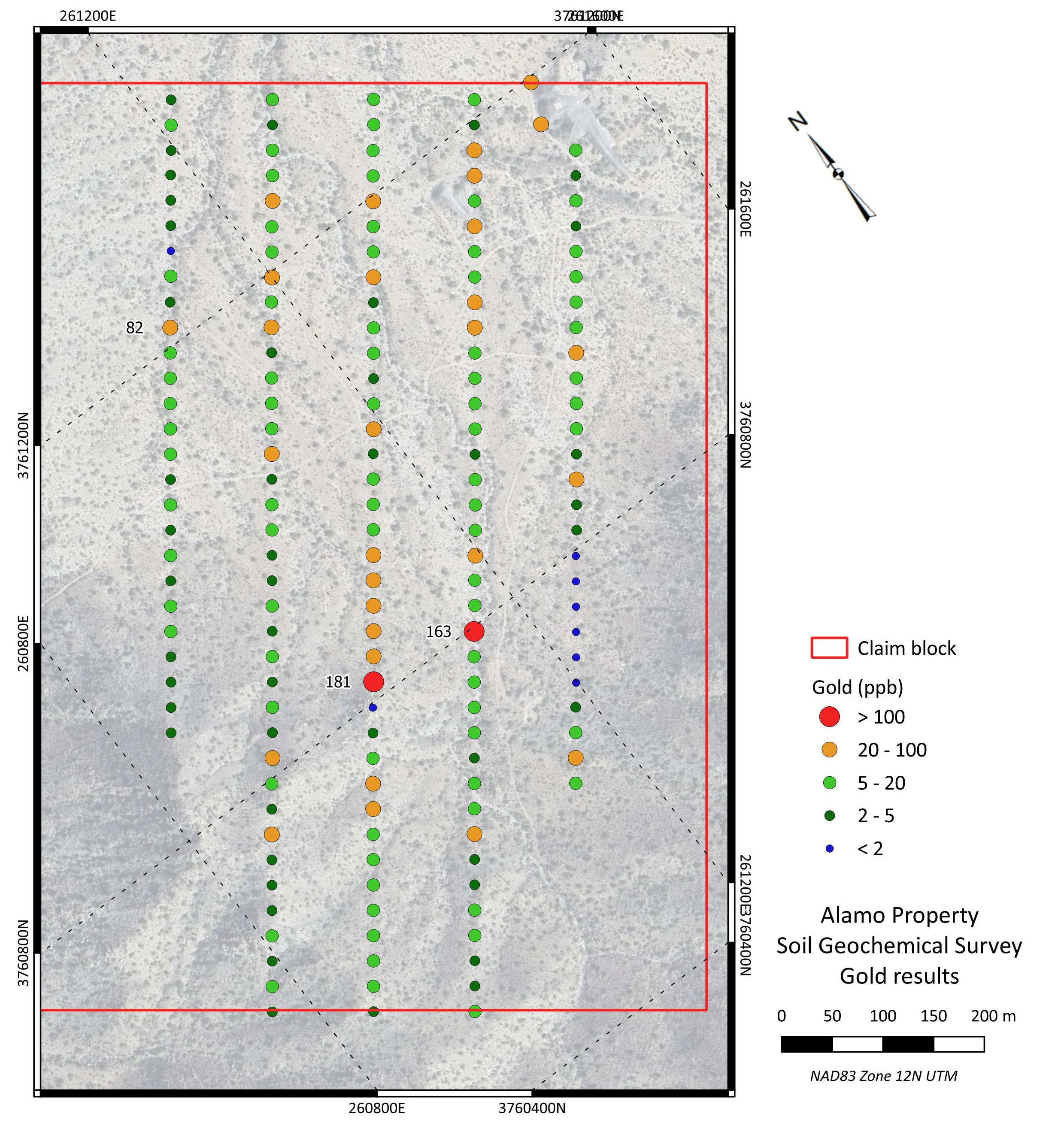
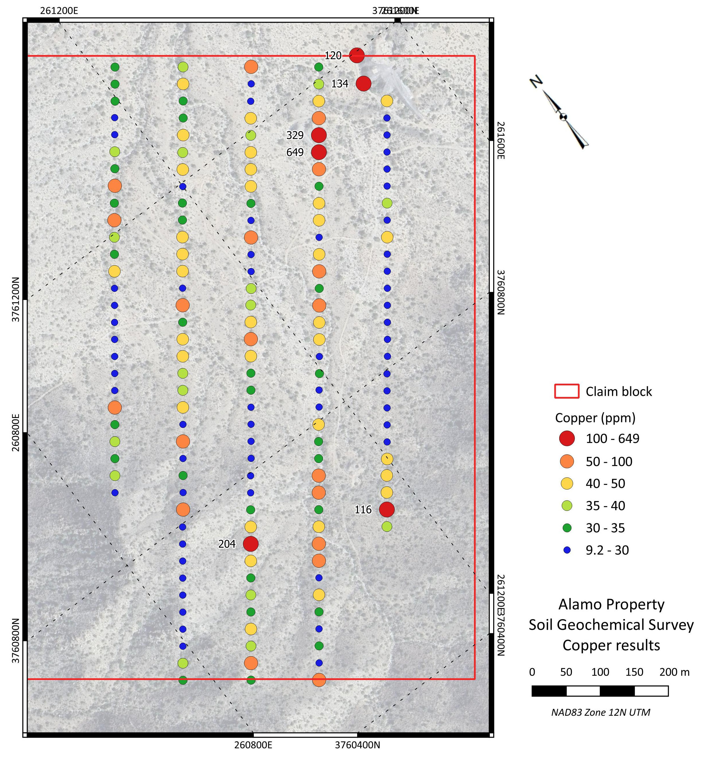
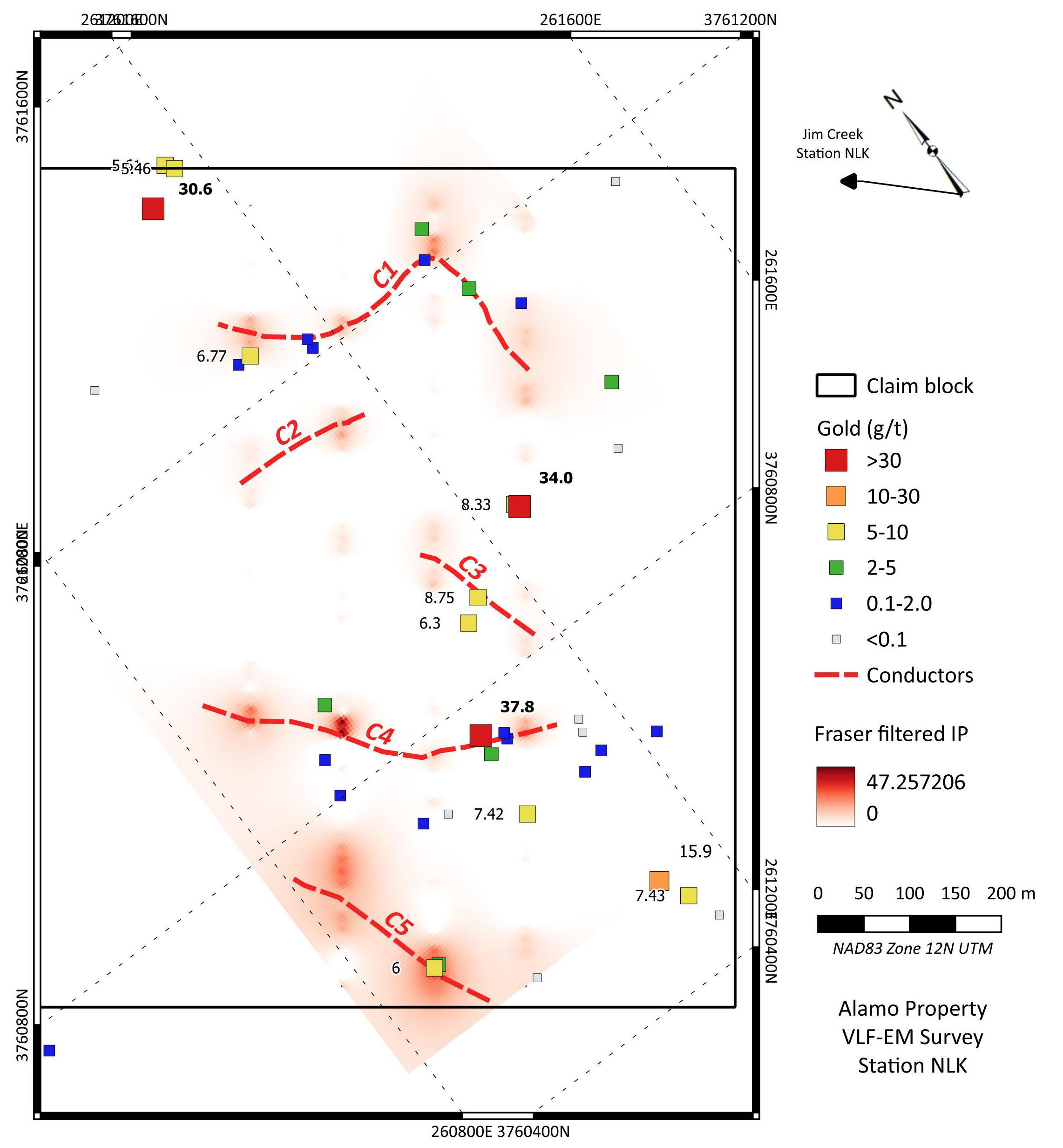
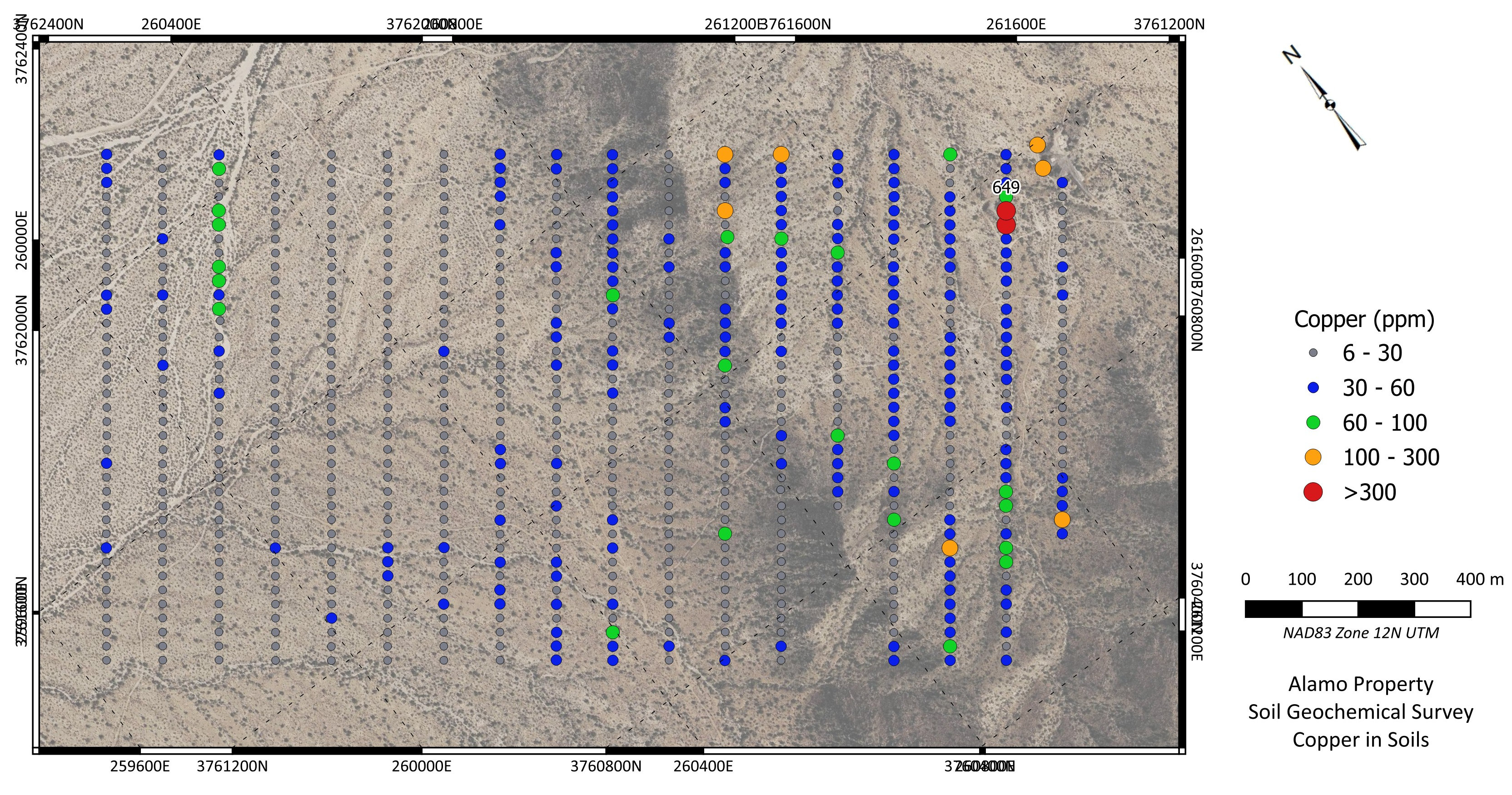
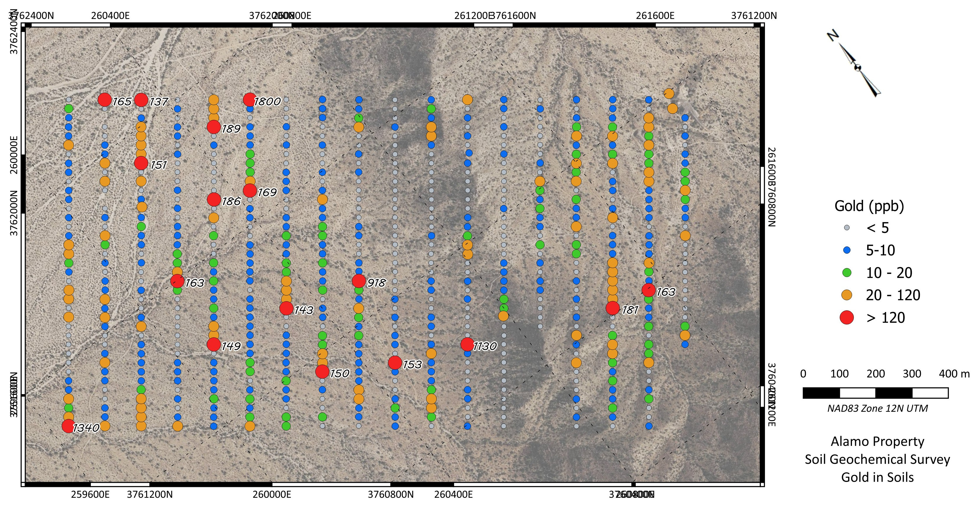
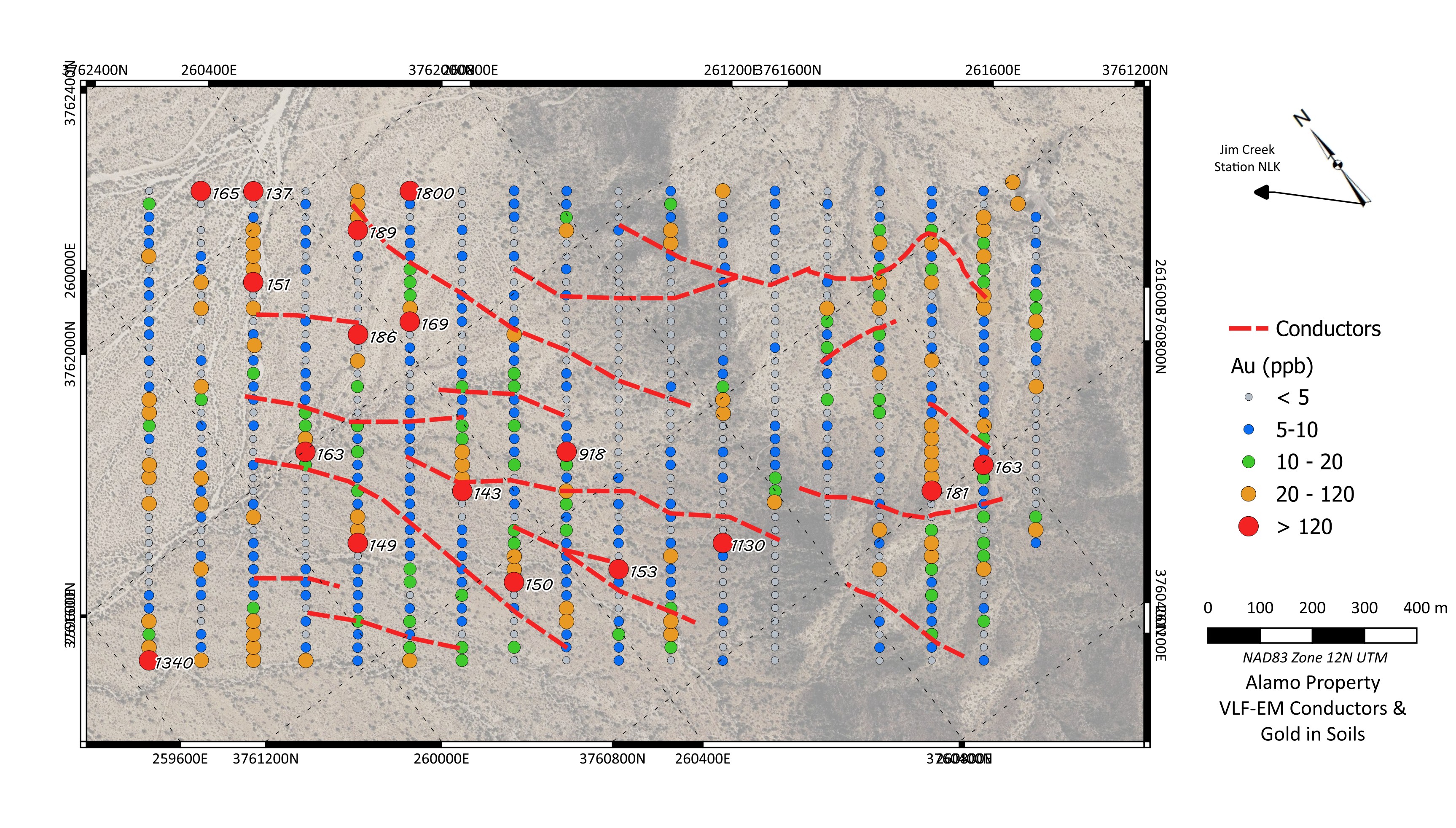
Silver Range acquired the Alamo Property by staking in February 2025 and has conducted geological mapping, sampling, soil geochemical surveys and VLF-EM surveys on the property since then. Sampling to date has returned up to 37.8 g/t Au and 19.15% Cu. Gold grades in surface grab samples collected to date (48) averages 4.39 g/t Au with 29% returning more than 5 g/t Au. Copper grades in the same set average 2.47% Cu with 33% returning greater than 2% Cu. Soil geochemical surveys have delineated a large gold-copper system extending for approximately 1.6 km along a northwest strike. Peak soil geochemical response was 1,340 ppb Au and 649 ppm Cu. VLF-EM surveys identified numerous conductors, several of which are associated with known mineralization.
Silver Range intends to conduct IP surveys and trenching on the property to delineate drill targets.