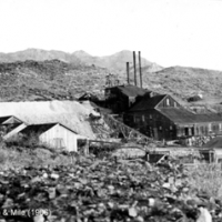
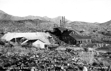
The Chloride Property is located north of the town of Chloride, 28 km NW of Kingman and 8 km NW of Waterton’s Mineral Park Mine. It covers the northern extension of the structural corridor hosting the Tennessee Mine. The Tennessee Mine was one of two major producers in the district, operating from 1898 through 1948. At closure, the mine had a 150 TPD mill processing ore running 6-8% Zn, 3.5% Pb, and 17 to 25 OPT Ag with substantial values in gold. In 1951, the veins hosting mineralization had been developed over a strike length of 1800 m to a depth of 430 m.
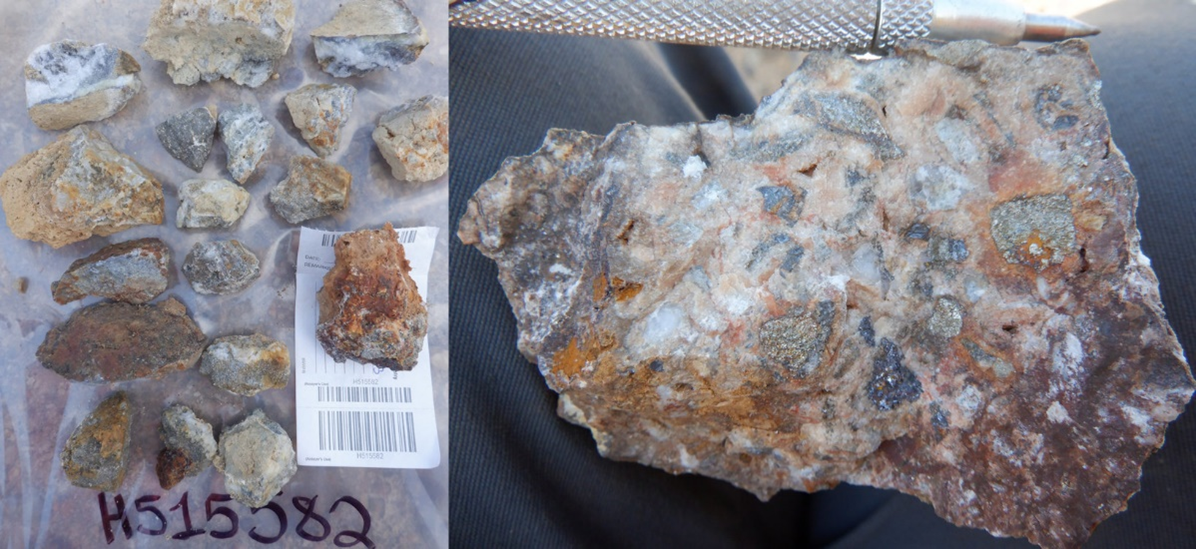
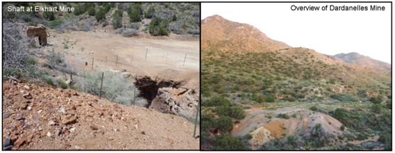
Mineralization at Chloride consists of veins and breccia in Precambrian gneiss and amphibolite related to a nearby Cretaceous intrusion hosting the Mineral Park deposit. Silver Range’s Chloride Property covers the Elkhart, Dardanelles and Argyle Mines northwest of the Tennessee Mine and on strike. Development at the Elkhart Mine reportedly consists of 3 shafts with the deepest down to 150 m. These were developed on 6 levels with approximately 790 m of drifting and numerous stopes.
Silver Range conducted preliminary geological mapping, prospecting, orientation VLF and soil geochemical surveys on the property in May 2023. Grab samples collected by Silver Range on the property during 2022 and 2023 returned up to 18.75 g/t Au, 764 g/t Ag, 11.6% Zn and 2.35% Pb.