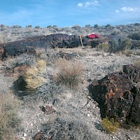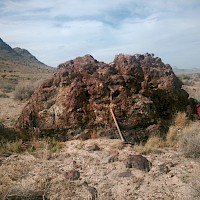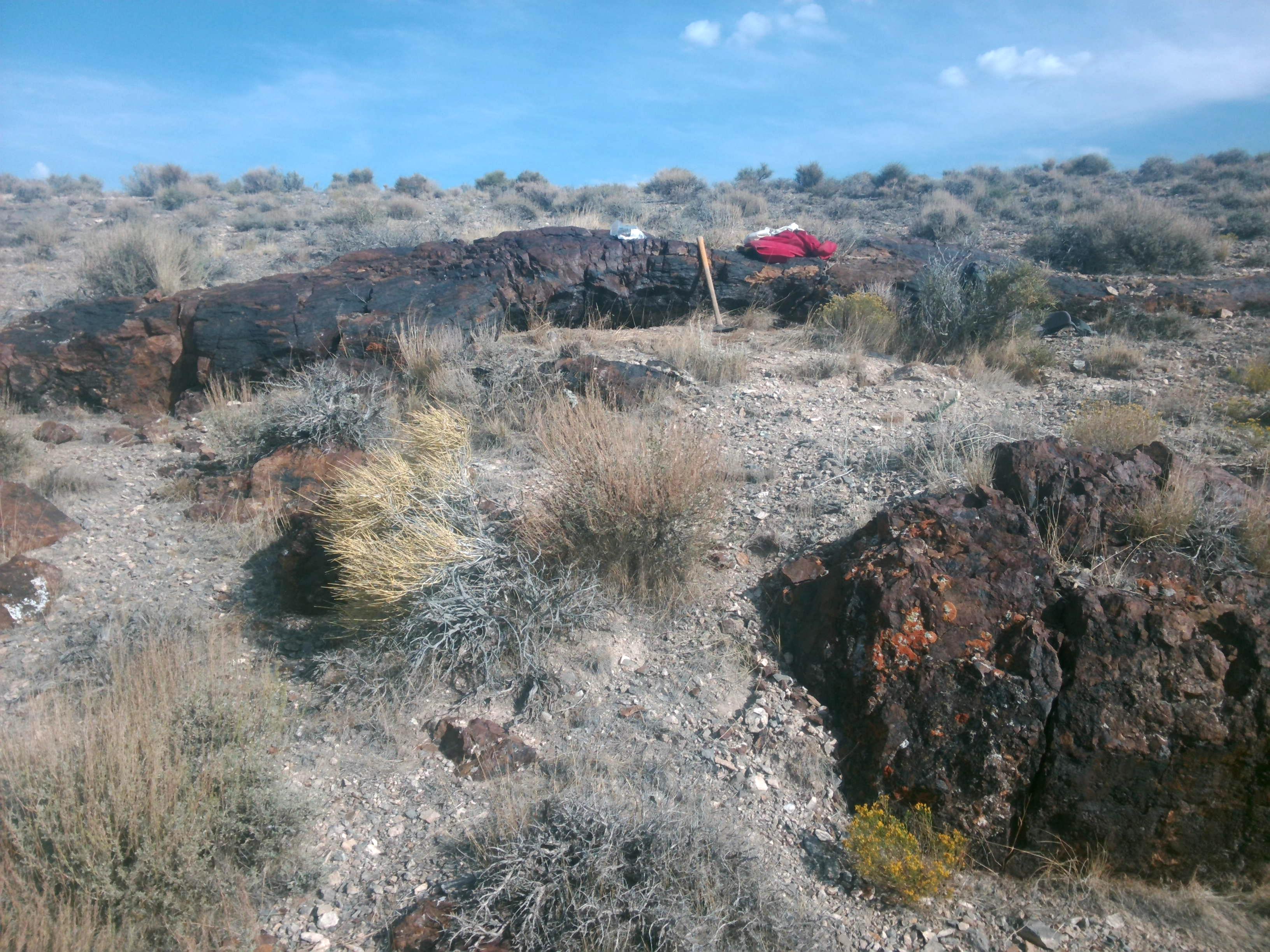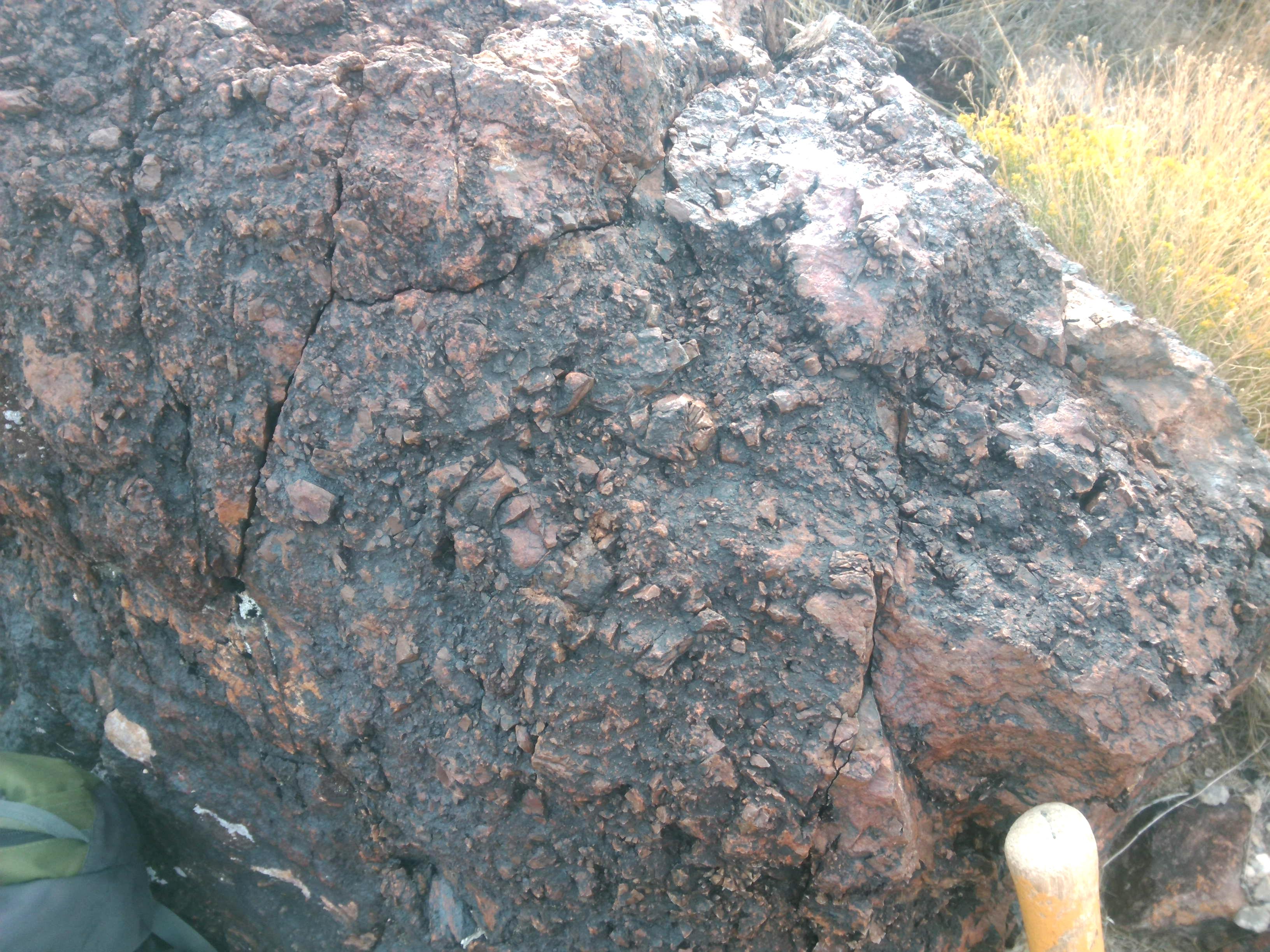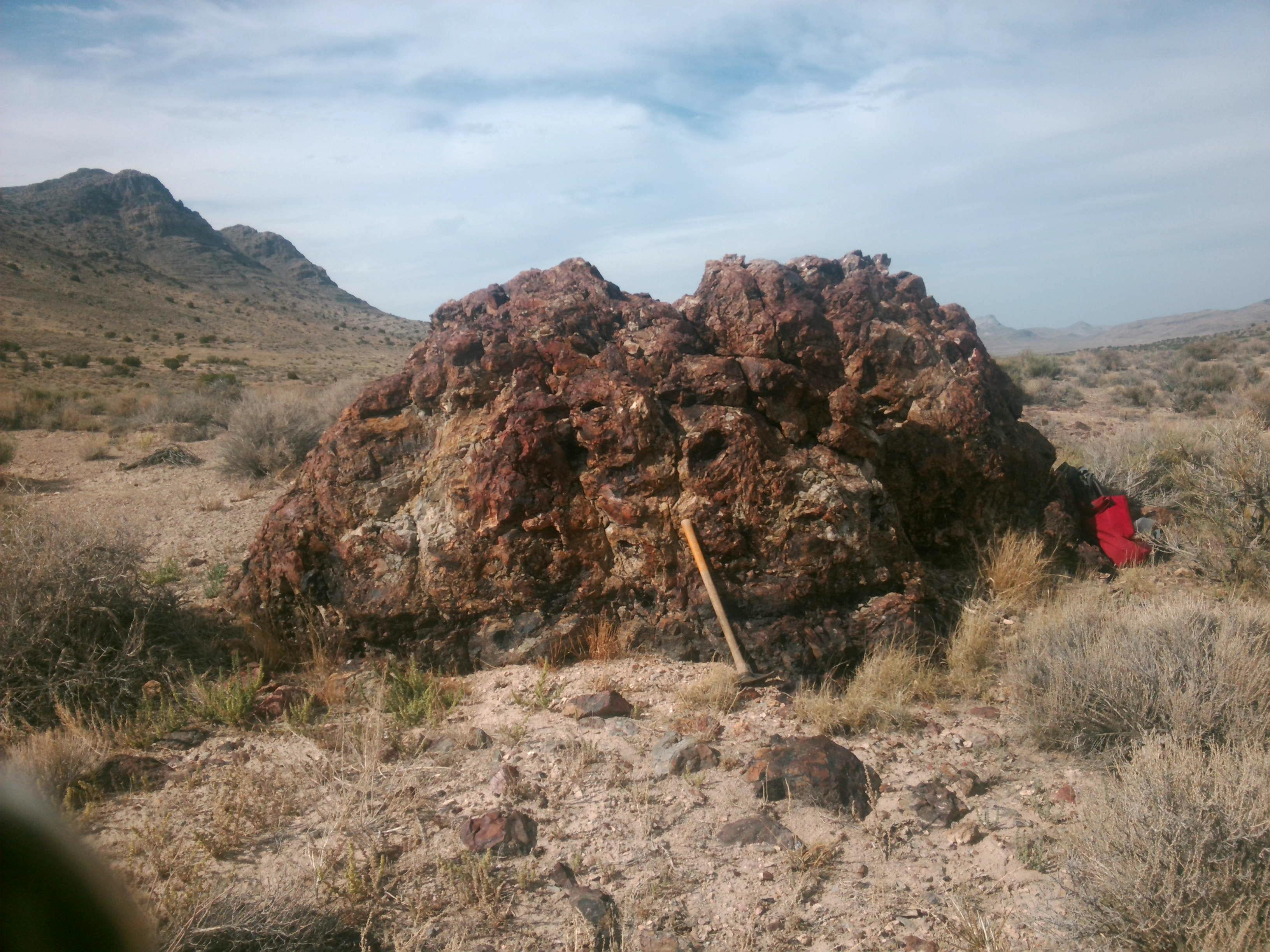
The Drum Property is located in the Drum Mountains of western Utah. It includes claims in Sections 17,18 and 20, Township 14 South Range 11 West in southern Juab County. Gold mineralization on the property is hosted in widespread jasperoid replacements and breccias in Cambrian Orr Formation limestone. The setting and style of mineralization and geochemical signature is similar to those found in Carlin deposits to the west in Nevada. Sampling by Silver Range during staking returned gold values from jasperoid occurrences ranging from trace to 1.02 g/t Au and silver ranging from trace to 15.2 g/t Ag from 23 chip samples. The property was most recently explored by Troymet Minerals from 2015 to 2018. Silver Range staked the property in September 2025 and subsequently expanded the property and purchased historic exploration data from a previous operator.
While previous exploration focused on stratigraphically controlled gold mineralization, the best gold mineralization intersected to date at Drum is structurally controlled and Silver Range intends to focus further exploration on defining structurally controlled Carlin-style mineralization on the property. Significant structurally controlled Carlin-style deposits in Nevada include Goldstrike and the Fourmile Deposit.
Eocene gold mineralization on the Drum Property is related to the eruption of the Thomas Caldera northeast of the property. The regional scale Joy Fault circumscribes the caldera and transects the Drum Property. This ring fault appears to control the location of some high-grade gold mineralization on the property. Historic surface samples along the Joy Fault returned assays up to 3.94 g/t Au and 47.1 g/t Ag. The Joy Fault was drill tested in three of the 41 drill holes and these returned the best drill results to date from the property including 30.48 m @ 0.967 g/t Au including 1.52 m @ 6.57 g/t Au. In addition to the Joy Fault, there are apparent radial faults associated with the emplacement of the Thomas Caldera extending into the carbonate succession west of the Joy Fault. A notable occurrence possibly related to this fault set is at High Grade Hill where historic surface samples returned assays up to 310 g/t Au, 130 g/t Ag and 0.38% Te.
Silver Range intends to conduct geologic mapping focused on structure and alteration, prospecting, soil sampling and geophysical surveys on the property to define new drill targets.