Under option to Viridis Mining and Minerals Limited, announced August 19, 2021. The South Kitikmeot Gold Project consists of seven properties within the Back River - Contwoyto Gold Belt of Western Nunavut, Canada. This belt is underlain by a 200 km long package of Archean Beechey Lake Group metasedimentary rocks which host the past producing Lupin Mine (production of 3.35 Moz @ 9 g/t gold), as well as Sabina Gold and Silver’s George and Goose Lake deposits (5.33 Moz Measured and Indicated @ 5.87 g/t gold).
Esker Lake
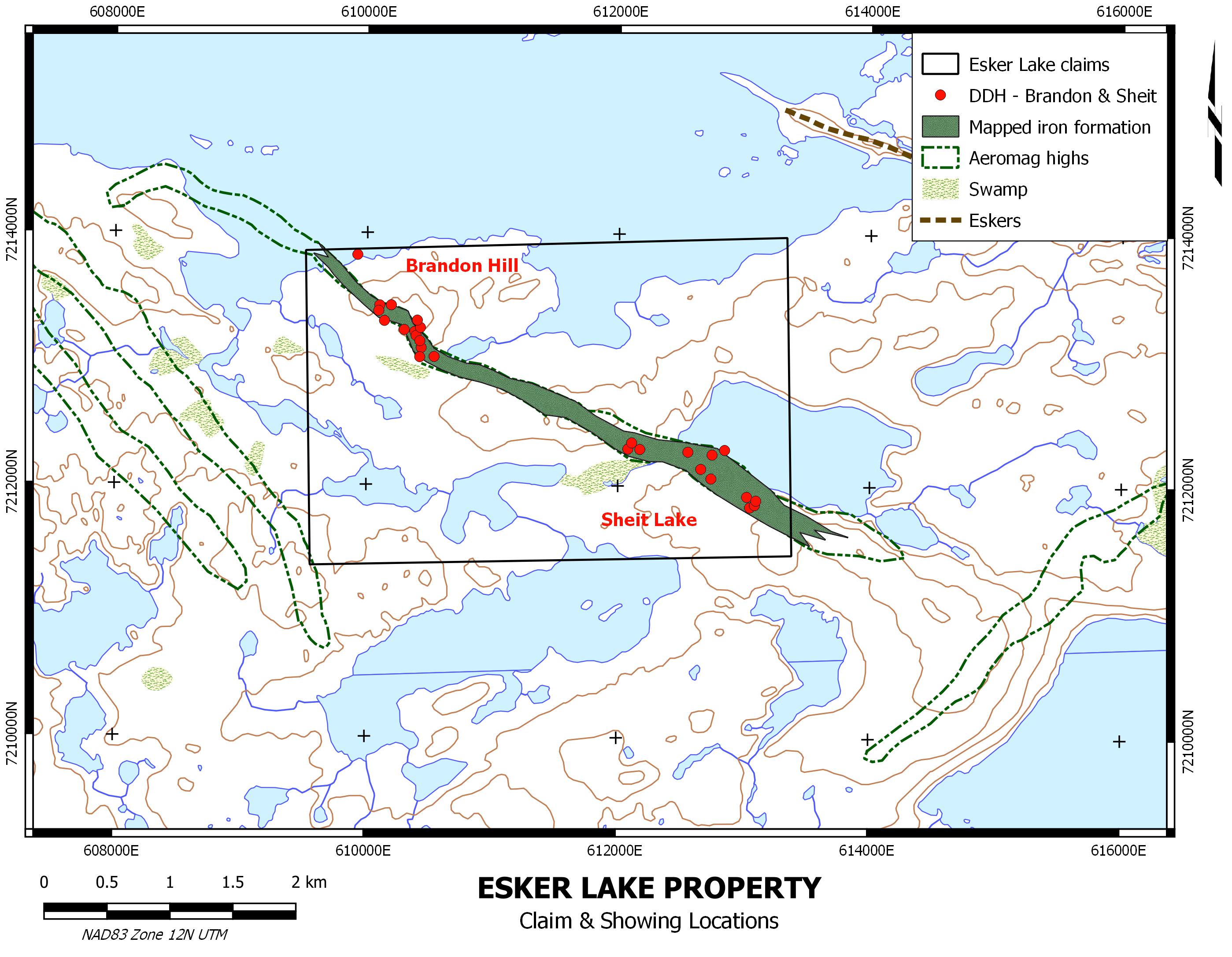
The Esker Lake Property was staked by Sirius Energy Corp. in 1986. Prospecting and geophysical surveys conducted in 1987 at the Brandon Hill showing were followed up with diamond drilling in 1988/89. Panarc Resources restaked the claims in 2012 and subsequently sold the project to Silver Range in 2016. The property hosts surface samples grading up to 61 g/t Au at Brandon Hill and up to 19.89 g/t Au at the Wasp Lake showing located 6 km to the east.
Historical drilling at Brandon Hill focused on fold axial planes, but subsequent work at Lupin and Back River indicates the bulk of the gold is hosted in folded, sulphidized metasediments.
| Hole | From | To | Intercept (m) |
Au (g/t) |
|---|---|---|---|---|
| EL-1W-89-11 | 33.40 | 36.40 | 3.00 | 11.7 |
| EL-1W-89-11 | 37.40 | 38.90 | 1.50 | 7.3 |
| EL-1W-89-12 | 8.12 | 11.22 | 3.10 | 4.1 |
| EL-1W-89-12 | 18.38 | 20.48 | 2.10 | 5.1 |
| EL-1W-89-13 | 37.02 | 41.02 | 4.00 | 4.8 |
| EL-1W-89-16A | 32.20 | 35.20 | 3.00 | 3.6 |
| EL-1W-89-43 | 63.80 | 66.80 | 3.00 | 2.2 |
| EL-1W-89-45 | 73.80 | 75.80 | 2.00 | 2.5 |
| EL-1W-89-45 | 77.06 | 82.00 | 3.94 | 3.8 |
Qannituq

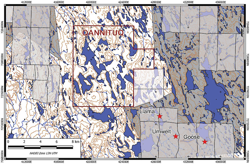
The Qannituq Property hosts iron formation gold style mineralization and consists of 2 claims covering 2,500 hectares. The property is located in Nunavut, 8.2 km northwest of Sabina Gold & Silver’s Llama deposit. The claims are underlain by Beechey Lake metasedimentary rocks intruded by granite. Silver Range completed reconnaissance prospecting on these claims during early August 2017.
Uist
The Uist Property is located 440 km NE of Yellowknife, NWT and is accessible by float or ski plane. It was staked and initially explored by Echo Bay Mines Ltd. in 1990 and then jointly explored with Gerle Gold Ltd. until 1994.
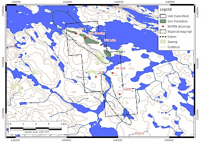
The Uist target is associated with a NW striking iron visible in the GSC aeromagnetic data.Sulphide iron formation consisting of pyrite, pyrrhotite and arsenopyrite occurs within altered silicate facies iron formation and is intermittently exposed over a strike length of about 1.6 km. Two notable showings occur along this trend. At Ed’s Showing, sulphide iron formation strikes WNW over 475 m and dips 59-70 degrees SW. Of ten samples collected here in 1990, 8 ran over 1 g/t Au with the highest value being 46.66 g/t Au. At Wally’s Showing, iron formation strikes WNW over 225 m and is tightly folded with an amplitude of approximately 75-100 m. Sampling on Wally’s showing in 1991 returned peak values of 156.28, 63.22 and 10.01 g/t Au.
Silver Range Resources staked and explored the Uist Property in May and June 2016. Confirmatory sampling returned fire assay analyses to 64.3 g/t Au. Recent mapping and sample results are being compiled with historical data to design future work programs and define drill targets.
Goldbugs
The Goldbugs property is located 390 km NE of Yellowknife, within similar stratigraphy hosting the Lupin Mine and George Lake deposits. Mineralization was first discovered during the exploration rush following the discovery of the Lupin Mine. Three gold bearing zones have been identified within an iron formation horizon that has been traced for 7 km by airborne mag. Highlight samples include 33.2 g/t Au in the West Zone, 1.04 opt Au from a grab sample in the Fork Lake Zone and 11.7 g/t Au in the East Zone.
Bling
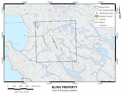
The Bling Property is located 415 km NE of Yellowknife, and readily accessible by float plane or helicopter. The property hosts exhalite massive sulphide mineralization along an extensive regional contact. The property was briefly explored in the 80s during the exploration rush that followed the discovery of the Lupin Mine which is located 160 km to the northwest. A gold zone consisting of several sulphide horizons has been exposed for 250 m in outcrop and is coincident with a VLF-EM conductor that has been traced over 750 m (still open along strike). Individual sulphide horizons are up to 5 m wide and 90 m long with grab samples as high as 47.4 g/t Au, and reported chip samples of 16 g/t Au over 2.0 m, 2.86 g/t over 3.5 m and 2.35 g/t over 2.0 m. The Bling Property has never been drilled.
Ujaraq
Covers iron formation immediately east of the Finn Property and the Lupin Mine leases. Boulder sampling has returned up to 28.11 g/t Au and the best of 9 holes intersecting iron formation returned 6.27 m @ 2.13 g/t Au.
Hiqiniq
Covers iron formation immediately west of the Lupin Mine leases. Surface samples have been collected assaying up to 11.16 g/t Au.


